“What should a good cycleway for Auckland look like?” Is a question we – and many of you – constantly ask ourselves. Painted cycle lanes, shared paths, Copenhagen lanes, bicycle boulevards, slow-speed shared zones, protected lanes? Of course, the answer is “Horses for courses, but they need to be better than the feeble attempts we got in the past!“
That certainly seems to fit the bill for the “Mount Roskill Safer Routes” that Auckland Transport is currently consulting on. Located in Puketapapa, in the south of the Central Isthmus, these routes will part of the local, wide-spread Greenways system pushed by the Local Board and its former chair, Richard Barter.
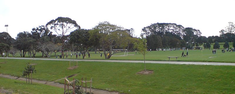
In particular, the key route now proposed for construction will connect the existing park cycleways in Alan Wood Reserve / Memorial Park with the Mount Roskill schools cluster, and then across the motorway via the walk/cycle overbridge to Keith Hay Park.

CAA was involved early in this project, and we were quite emphatic about a few things – for a route connecting to local schools and aimed at less confident riders it needs to be built to the best quality. That means if you are crossing major roads, you need traffic signals. If you are using major roads to travel along, you need either protected cycle lanes, or you need to go fully off-road.
Greenways so far have mostly been, well, green, because they’re “in parks”. This is one of the first greenways that makes the jump between parks via the local road network. So how did AT’s design team do?
Well, we are happy to say – they did pretty great! In fact, the plans (helped by the fact that these local road reserves are pretty wide) are among the most consistent plans we have so far seen, and are great for a Greenways route.
So what do the plans show us for the main route between Memorial Park & Keith Hay Park:
- A pretty direct route – no illogical detours
- May Road and Dominion Road will be crossed by signalised ped/cycle crossings
- A shared path of “parks” quality, off-road all the way – no funny changes in type of path
- The shared path generally has berms between the road and the shared path, rather than being “right on the edge”
- Space is found by narrowing extremely wide carriageways to something much more appropriate, and at least one large intersection gets shrunk too
- Side-road crossings to be on speed tables, for safety (yay!)
The second part of the route, south of Keith Hay Park, is more low-key in terms of infrastructure, but we did ride the route with AT staff, and we can confirm that the local streets it runs through are really quiet – if cyclists can safely ride on-road in Auckland anywhere, than it is on these kinds of routes.
Were there things we didn’t like? Surprisingly few. Some of our change requests were:
- Some of the driveways crossing the shared path are pretty wide, but don’t need to be
- In one area near the school, the shared path goes along a long row of on-street parking – to reduce dooring hazards, a grass berm or path widening is needed
So how do you like the project? There’s an OPEN DAY where you can get more info/give feedback:
Dominion Road School, Quest Terrace, Mt Roskill.
Saturday 7 December, 11am to 3pm
And also, you can give your feedback directly online here. You can respond till 20 December, but why not give them your support now?


