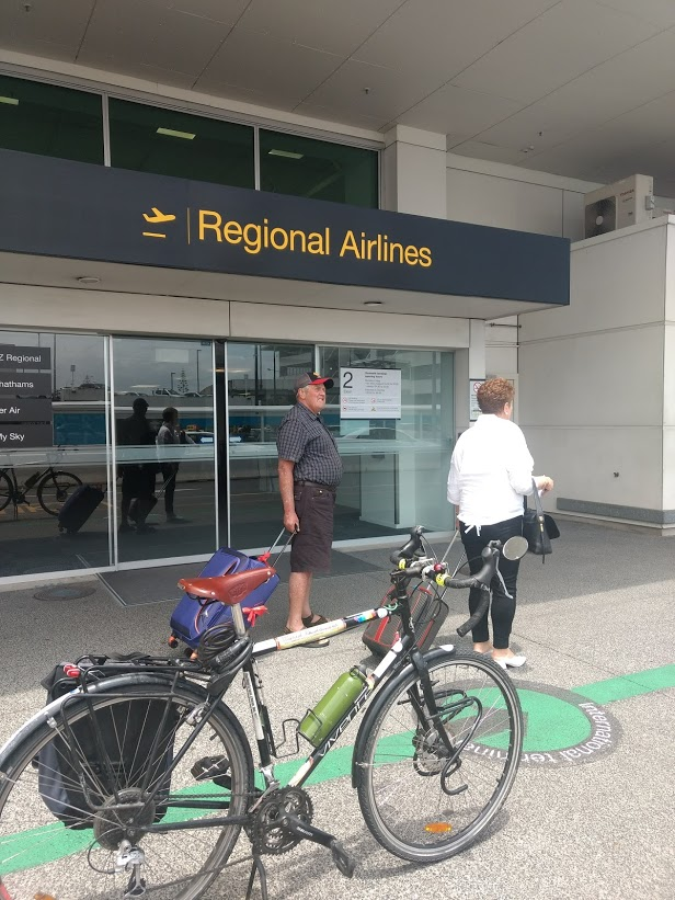
Who wouldn’t want to zip past airport traffic jams, and park right at the gate, by getting out of the car and onto a bike? It’s an appealing thought not just for travellers, but for the many people who work around the airport.
And a bunch of new developments make it way more thinkable than ever: e-bikes and cargo-bikes; navigation apps; public bike-share schemes that let you grab a bike as easily as you’d hail a taxi. Plus, of course, safe, connected bike routes to and through the airport, an increasingly common feature of 21st C cities.
Could Auckland join the club? We do have heaps of natural advantages: our airport sits in the flattest part of the city, and a huge workforce lives within easily riding distance. And there’s the promise of a bike network that – on paper, at least – everyone’s committed to joining up. So what’s stopping us?
In this guest blog post, Christopher Dempsey – who’s been biking to and from the airport for years, with visitors from overseas – highlights some of the new bike connections, and some very dangerous gaps that need urgent fixing.
A new way to fly
Biking to the airport is not just a possible option, but a smart choice, even (or especially) if your flight emits more C02 than you’d usually emit in a month. A recent article in the New York Times describes how American and British airports and cities are building safe bike routes to airport terminals – typically by connecting up and linking to existing cycle links to make it intuitive and practical to go by bike.
For example, in Boston, Transportation Planner Conor Semler cycles to Logan Airport about twice a month. Why? He prefers not to be in a car, he says. Also, “the trip and parking are free, and he has a choice of seven bike rack locations at the airport.”
The secret bonus of safe, connected bike paths to the airport precinct? Researchers found that airport-based companies are “adapting to bicycle travel as a way to reduce the number of employee parking spaces.” That’s space that can be more profitably used than storing cars.
Take Heathrow, for example: it has 16,500 workers at the airport alone (not including surrounding businesses), and a vision to become the world’s first cycling airport. Heathrow Airport has its own cycle hub, with free bike servicing and 10% off purchases through the club. The cost of offering these benefits is obviously far cheaper than providing a car park.
So what’s the plan for Auckland Airport? According to the airport’s own website:
“Cycle routes are constantly being reviewed to improve connectivity. As the airport develops, additional cycle and shared paths will be provided for those that work in and around the airport.”
These are promising words. With 15,000 people working in and around the precinct, enabling even 10% of those – say, just 1500 people – to bike to work would make a big difference to daily traffic and associated wasted car park storage.
But how is the “connectivity” to and around the airport? Recently I’ve hosted a few cycle tourists arriving from Europe via Dubai (a 17-hour flight), and I’ve offered to guide them back to my place by bike. I’m fairly familiar with cycling out to the airport, having done so a few times when heading to flights to go cycle touring elsewhere. The first thing to do is to find an official route, right?
Follow the trail – if you can
Sadly, getting to and from the airport area is not a straightforward ride for those who are new or less familiar to the area or to cycling. But it should be a practical and legible option for anyone who chooses to go by bike.
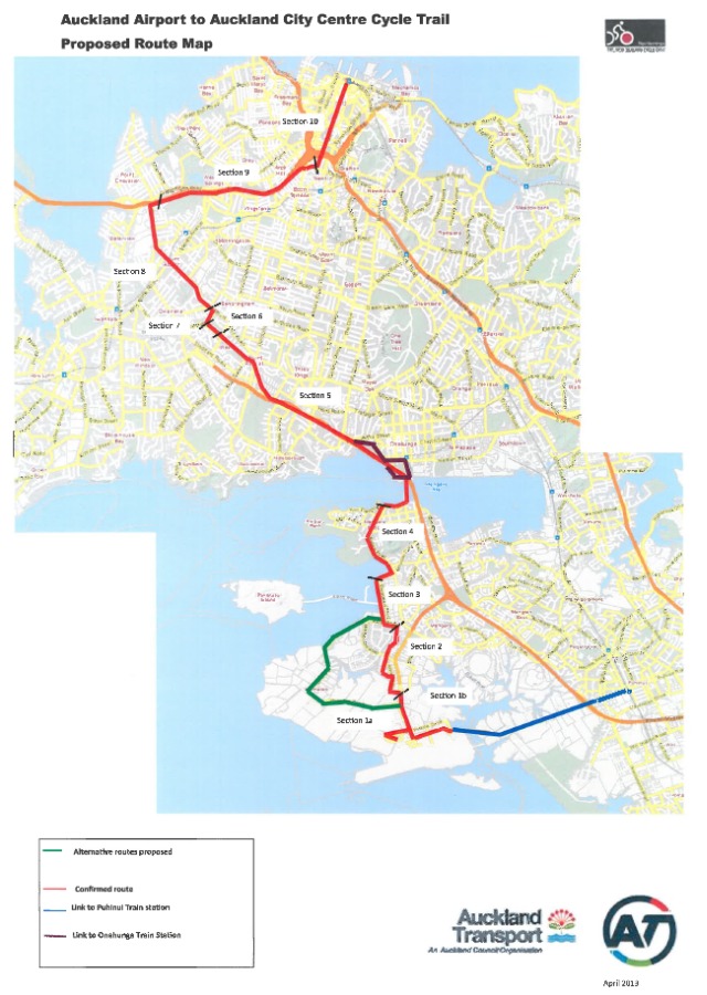
The “Airport to City” route is an official section of the New Zealand Cycle Trail, a 33km route between the airport and downtown.
Here’s how the thinking around that route looked in 2013:
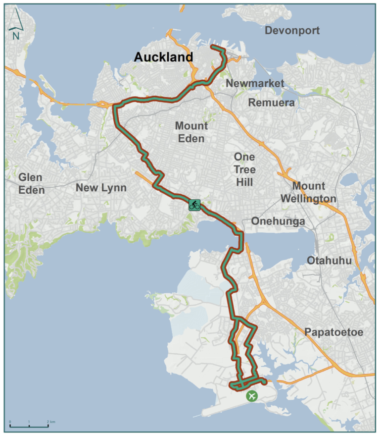
In 2015, the route was given some fresh signage and minor improvements as part of the Urban Cycleways Programme, in order “to increase the number of cyclists using the route and contribute to improving our reputation as a cycle tourism destination.” Here’s how the route looked to planners in 2015:
The Airport to City route also appears on AT’s website in this (undated) description, with promises of improvements to come:
“The New Zealand Cycle Trail (airport to city) is a signposted cycle route for visitors, commuters and recreational riders on largely quiet roads and existing cycleways. It passes through Mangere, Mangere Bridge, Hillsborough, Mount Albert, Waterview and Kingsland. The route will improve in the coming years to take advantage of new infrastructure planned and under construction along the full length of the route.”
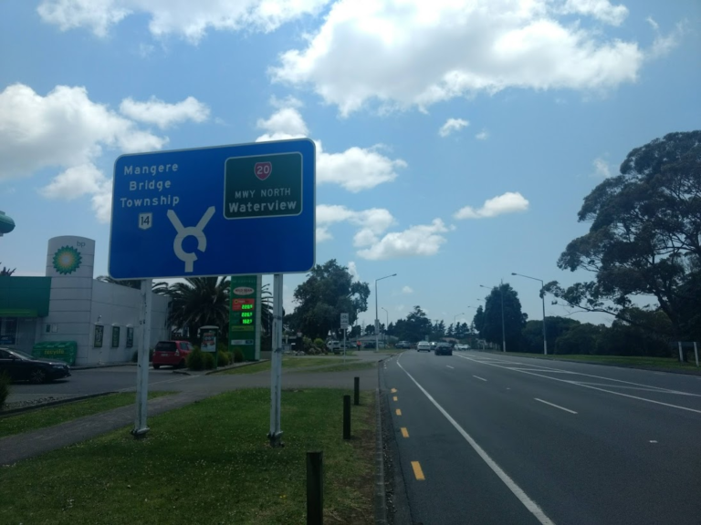
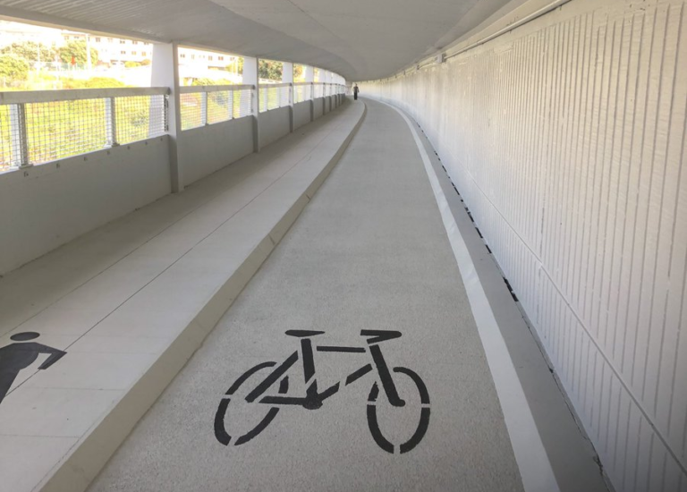
This “signposted cycle route” – which largely seems to have dropped off the radar – goes via the Northwestern Cycleway to the Waterview Shared Path and the SH20 Cycleway, before dropping down to the Onehunga foreshore and around to the Mangere Bridge underpass. The advantage is that much of it is on off-road bike paths; but it does take the long way round.
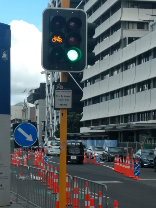
My preferred alternative, aka the “B route” or guerrilla route, is more direct and quicker, but goes on roads through the infamous “Bike Bermuda Triangle” of the Auckland isthmus where there are few if any safe bikeways.
Whichever route you take, it’s true there have been a few improvements in recent years, notably:
- The Waterview Shared Path (a result of Bike Auckland’s advocacy alongside the community at the Board of Inquiry) now bridges the gap between the Southwest SH20 and the Northwestern Cycleway, a handy link if you’re looking to make the journey as much as possible on off-road cycleways.
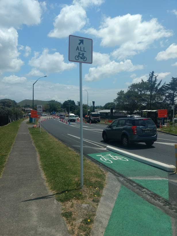
- And 3km of off-road cycle path alongside SH20A which connects from Bader Rd through to where SH20A ends at the intersection of Verissimo and Landing Drives. (This, too, came about thanks to Bike Auckland’s advocacy.)
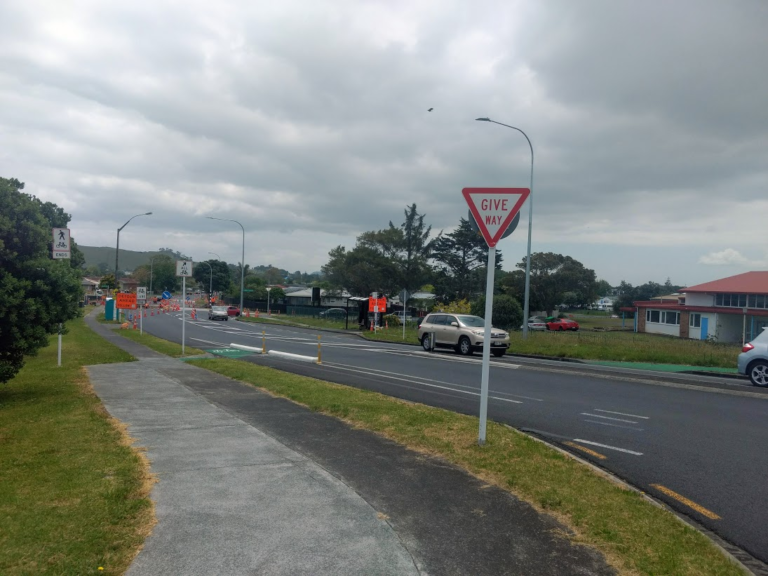
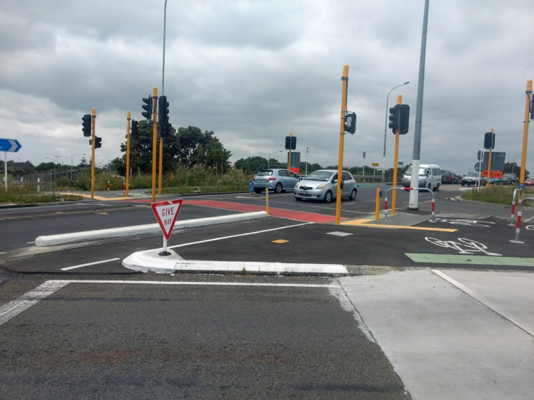
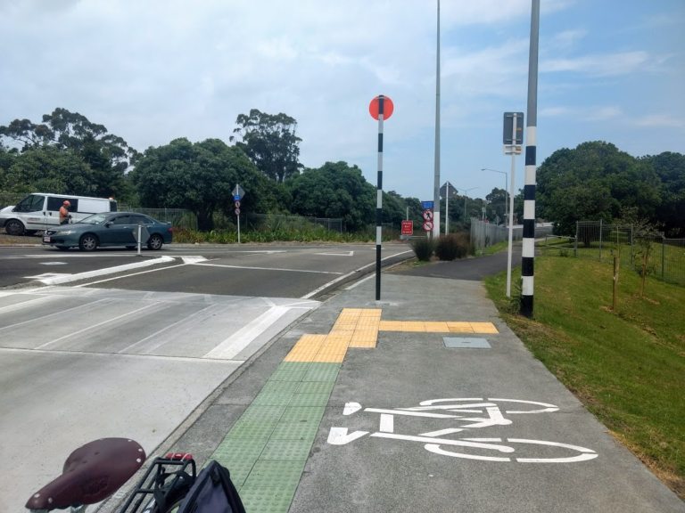
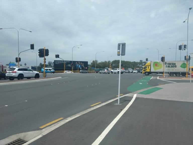
But even the safest route is only as good as its weakest link – and that intersection at Verissimo and Landing Drives, as you enter the airport land, is a shocker, with large volumes of heavy traffic and uncontrolled slip lanes. There was a near-fatal truck vs bike crash at this spot in late 2018 which left the rider in hospital for a year.
This constitutes a major safety gap that urgently needs to be solved, at the very least with raised pedestrian crossings at each slip lane like those recently installed by NZTA where the Northwestern Cycleway crosses the St Luke’s motorway junction.
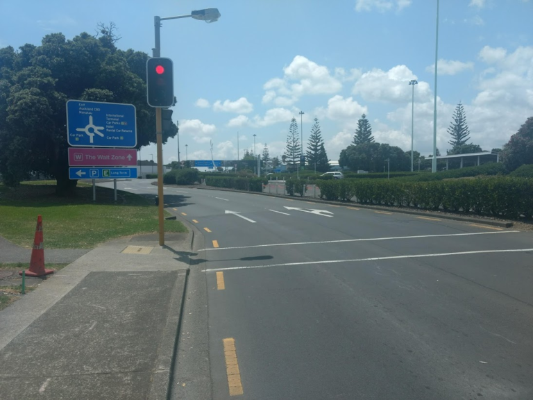
And once you’re inside the airport precinct, you’re largely on your own. You need to know beforehand how to get to or from the terminals, but Google Streetview doesn’t cover many of the streets within the airport precinct, and navigation is not easily done on the fly, as it’s not intuitively signposted.
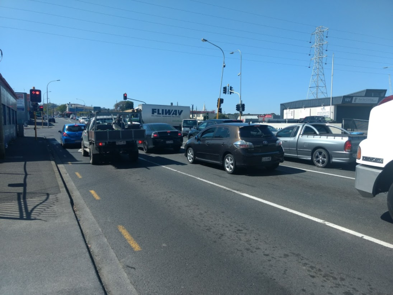
You also have to negotiate some very busy roads within the airport area. This might not faze those cycle tourists and more seasoned local bike commuters who have strong on-road riding skills and a lot of confidence riding next to fast or heavy traffic. But this is not an easy ride for the less confident, let alone for all ages and abilities
What needs fixing? And where to start?
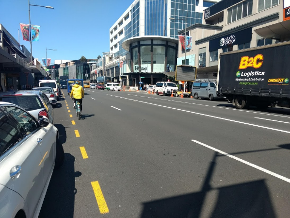
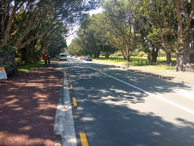
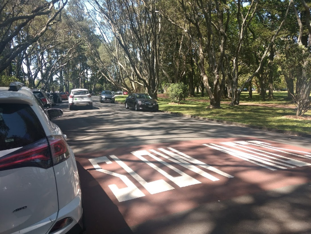
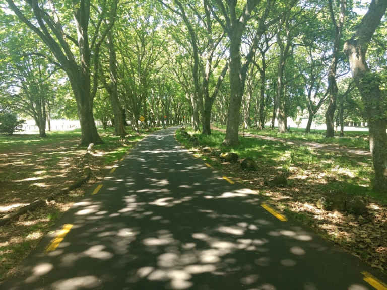
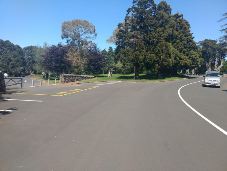
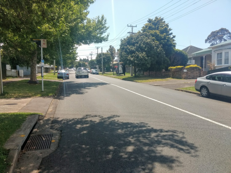
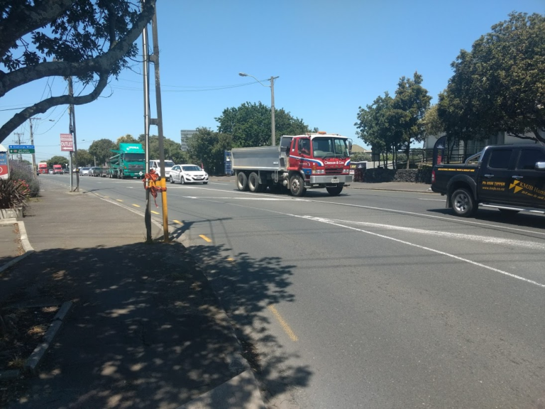
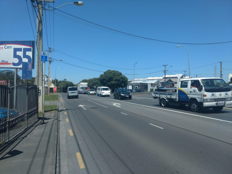
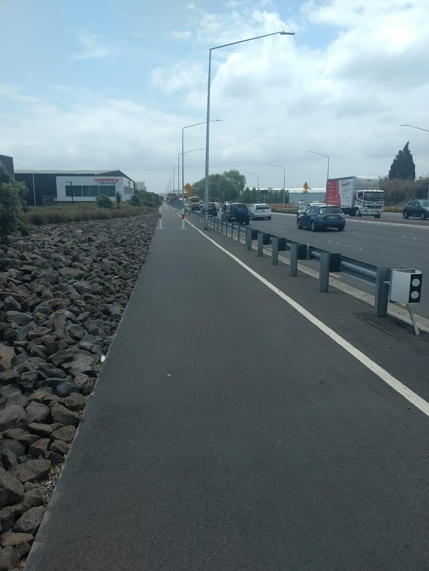
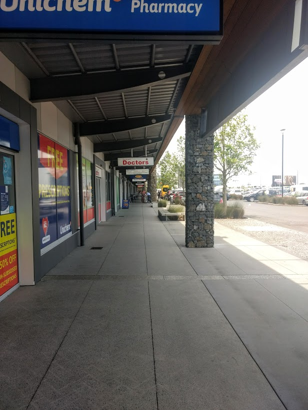
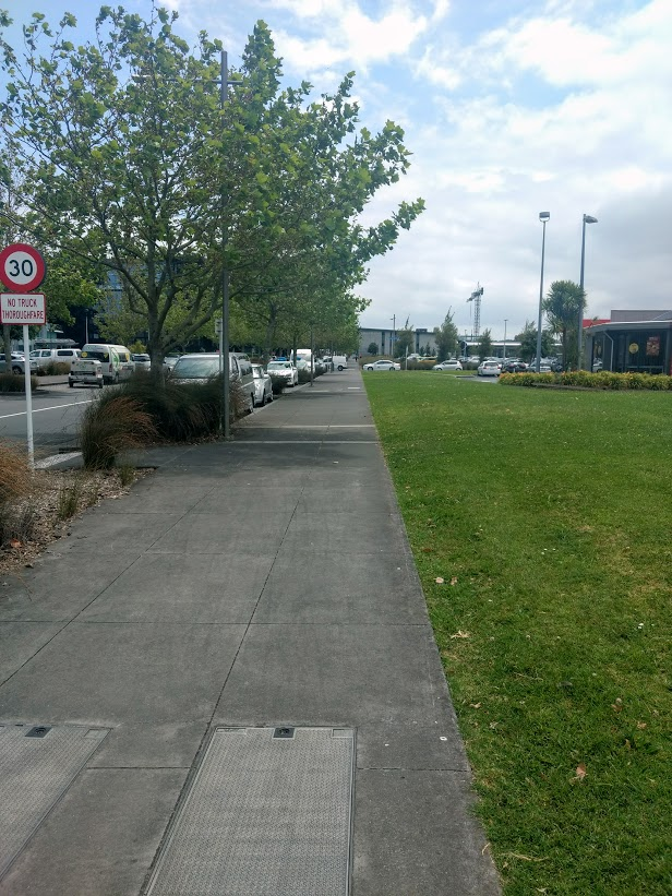
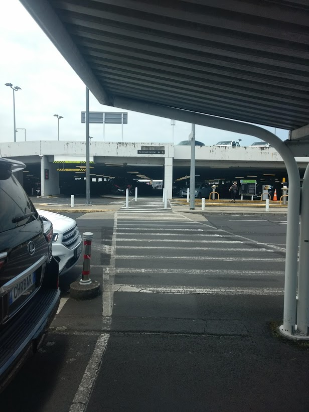
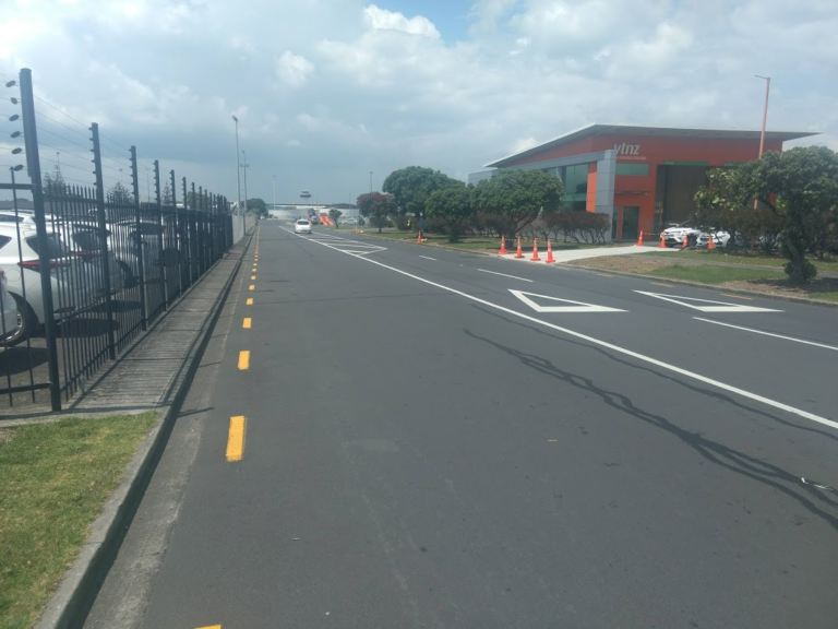
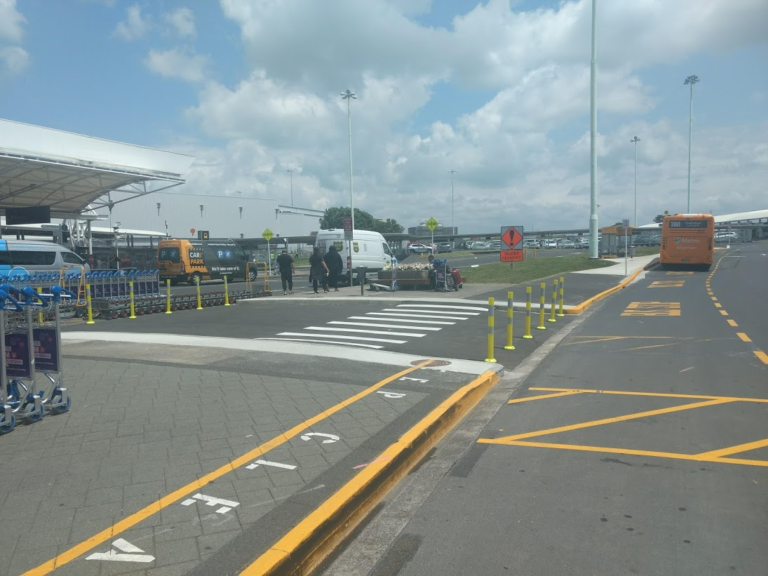
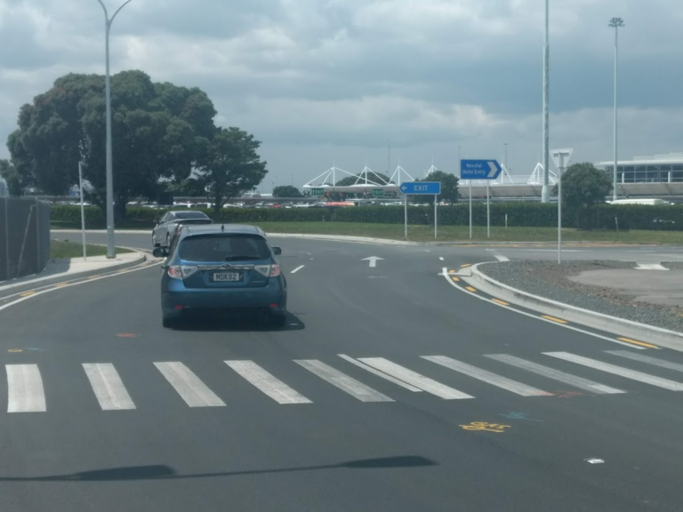
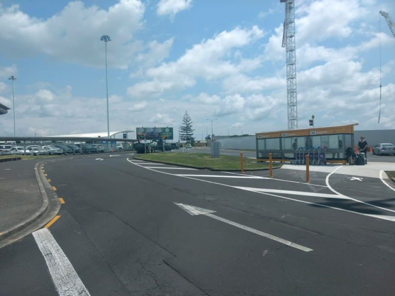
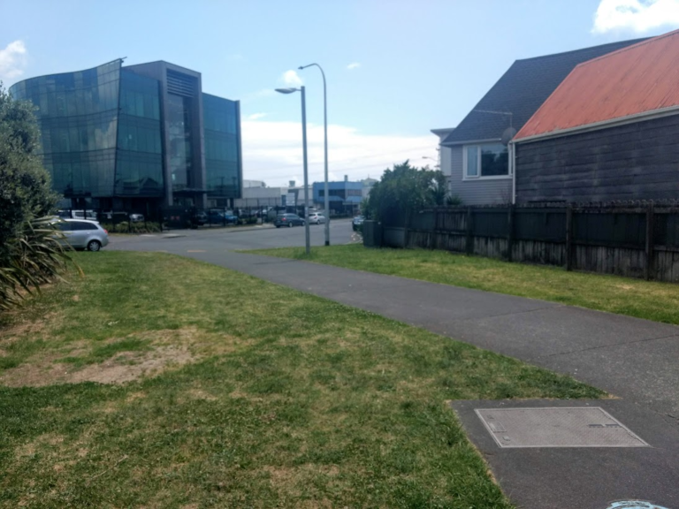
I’ve taken photos of some of my various routes to and through the Airport area, to help show what the journey looks and feels like, and to highlight some of the issues a rider will likely encounter. You can see those photo galleries at the end of this post.
Based on my experiences, three areas in particular deserve urgent improvements. Not just to make the trip safer for people like me, who ride it already, but also to allow many more people to think about biking to and through the airport:
1. Getting through Onehunga
While there is some cycling infrastructure that leads to Mangere Bridge from the east and the west, there’s nothing from the north. In particular, the area around the intersection of Neilson Street with Onehunga Mall is a challenge.
There is zero cycle infrastructure here which means you have to be extremely confident when cycling through here to get over the intersection then ride south to reach the cycle path that leads to the underpass slung beneath the new Mangere Bridge.
This area needs to be re-designed with proper protected and separated cycle infrastructure to enable people to safely get through this intersection. And this is not just about travelling to and from the airport – locals in Onehunga and Mangere Bridge should feel safe and able to access their waterfront, shops, and nearby neighbourhoods.
NZTA’s East-West Link project looks to upgrade this area, but the project is on hold awaiting re-evaluation. Safety for people on bikes through the Neilson St intersection should not be subject to this delay, and likely falls into Auckland Transport’s hands.
See also Nicholas Lee’s excellent proposal for local links in this area.
2. From Mangere Bridge Village to the Airport
To get from the southern end of Mangere Bridge to the separated cycle path alongside SH20A, the most logical route is along Coronation Road, McKenzie Road, and Bader Road. Each of these roads is reasonably wide, so it should be relatively easy to install separated cycle infrastructure. Again, this falls into Auckland Transport’s hands.
3. The Airport Precinct Itself
As the road-controlling authority, Auckland Airport needs to lift its game in terms of cycle infrastructure on the land it controls, to meet its promise that “as the airport develops, additional cycle and shared paths will be provided for those that work in and around the airport.”
For example, while there’s a more or less straightforward path to the Domestic Terminal, getting to the International Terminal is much less intuitive, and requires extremely confident on-road cycling.
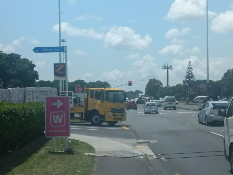
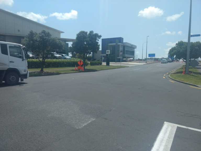
Despite plenty of recent road works to make it easy for vehicles to move through this area, the Airport missed the chance to bridge the gap by providing separated bike infrastructure connecting the International Terminal to the new SH20A cycle path. For now, riders have to “take the lane” amidst busy traffic, between Tahinga Lane and the International Terminal.
There also needs to be a pedestrian / cycle link from Leonard Isitt across Tom Pearce Drive, so people can reach the Pedestrian Walkway entrance that links to the Domestic Terminal.
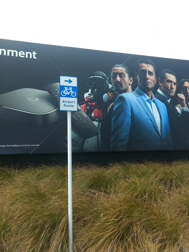
And the signage really needs to come up to scratch. Overall, you need to know in advance where to go at critical junctions, particularly within the airport precinct. Yet there are precious few signs on any of the routes I’ve travelled. Google Maps does not show information for the new SH20A cycle paths (I’ve contacted them to update this). And Streetview literally stops at the edge of the Airport terminal area at Tom Pearce Drive.
The upshot is that the Airport area itself is currently a bit of a “black box” when it comes to planning safe bike travels, whether you’re a visitor or a local, a traveller or a worker. I hope my photo galleries below are of some help for navigating your way through.
— Words and photo galleries by Christopher Dempsey; header photo by JB Delarosa via Instagram
A coda from Bike Auckland: We’d add one more area to Christopher’s list for improvements: the connections through Papatoetoe and Manukau. While there are some new bike facilities to come with the new Puhinui station and the A2B bus route, as we highlighted in late 2019, the (unnotified) plan to remove existing bike lanes from Puhinui Road betrays a very troubling lack of planning for safe connections through here – not just for cycling to the airport, but for everyone who lives in the area.
We’d love to hear your thoughts. Have you ever biked to the airport? Or would you, if you could? What have you noticed along the way? Where are the gaps, and what are the opportunities?
Gallery: City to Mangere Bridge via the “B Route”
From Mangere Bridge to the Airport (two options)
Once over Mangere Bridge, it’s easy enough to get yourself to Mangere Village by going along Waterfront Rd to Coronation Rd and turning left. Ride through the village – again, taking the lane – to the end of the shops. On the other side of the small hill, you come to an intersection. Here, there are several options.
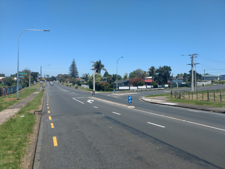
You can turn right, into Mountain Rd, which takes you through to Kirkbride Rd, then down to the intersection with Ascot Ave. This would be the regular route I would take. The advantages are that traffic volumes are lower, and there is a lovely strawberry farm you pass on Kirkbride road where you can get fruit ice-cream – a delicious treat in summer. The disadvantage is that cars parked on the roadside can narrow the road a bit, but usually there are not many cars parked.

The alternate route is to go straight ahead, instead of turning right, which takes you to a round-about – again, take the lane – and you come onto McKenzie Rd, which has two lots of short cycle lanes to help you get through intersections, before then intersecting with Kirkbride Rd, which you take to get to the intersection with Ascot Rd.
At Ascot Ave, I would make my way to Richard Pearse Drive, then down towards the airport. However, due to an upgrade of SH20A, this route has been compromised, but thankfully wide cycle paths have been installed along the upgraded parts of SH20A, creating a safer path in this area.
The problem is getting to the SH20A cycle path at the intersection with Ascot Ave. It’s a question of using pedestrian crossings to get yourself to the beginning of the cycle path that you can see near the motorway onramps. There is a small amount of cycle infrastructure, but it’s geared towards people going east-west, not north-south as we are doing here.
Or, if we back track a bit, going along McKenzie Rd, a better route presents itself, turning left onto Bader Rd from McKenzie. Going along here is reasonably ok – wide roads compromised in some parts by parked cars. (I found out from watching WWII documentaries that Bader was the Captain of Bomber Command in the Battle of Britain).
Gallery: Getting to the Domestic Terminal
To reach the domestic terminal, you need to head diagonally across the big intersection of SH20A (George Bolt Drive) and Verissimo and Landing Drives, towards the south-east corner, where there’s a large billboard. Take care at this intersection: there are controlled pedestrian crossings on the main roads, but nothing on the very busy slip lanes at each corner.
Gallery: Getting to the International Terminal
Gallery: Leaving the International Terminal
From the left-hand turning lane I head straight over to Onehunga Mall, then make my way through the village and on up the hill to Cornwall Park, through here to Mankau Rd, thence northwards to Newmarket, then home.
Another option: take the train to or from Onehunga!
You can take your bike on the train for free, so a good option can be to take the train to Onehunga train station, which is at the southern end of Onehunga village, then head southwards via the Neilson St intersection, to reach the small cul-de-sac, where you can then pick up the cycle path that runs underneath the new Mangere Bridge.
Coming north, towards town, you’d simply get across the Neilson St intersection then cross over to the train station and take the train from Onehunga to wherever.
In both cases, the Neilson St intersection is a real challenge, busy with trucks. Don’t be shy to get off, use the crossings, and walk your bike if that feels safer. But we really shouldn’t have to make that kind of calculus, should we?


