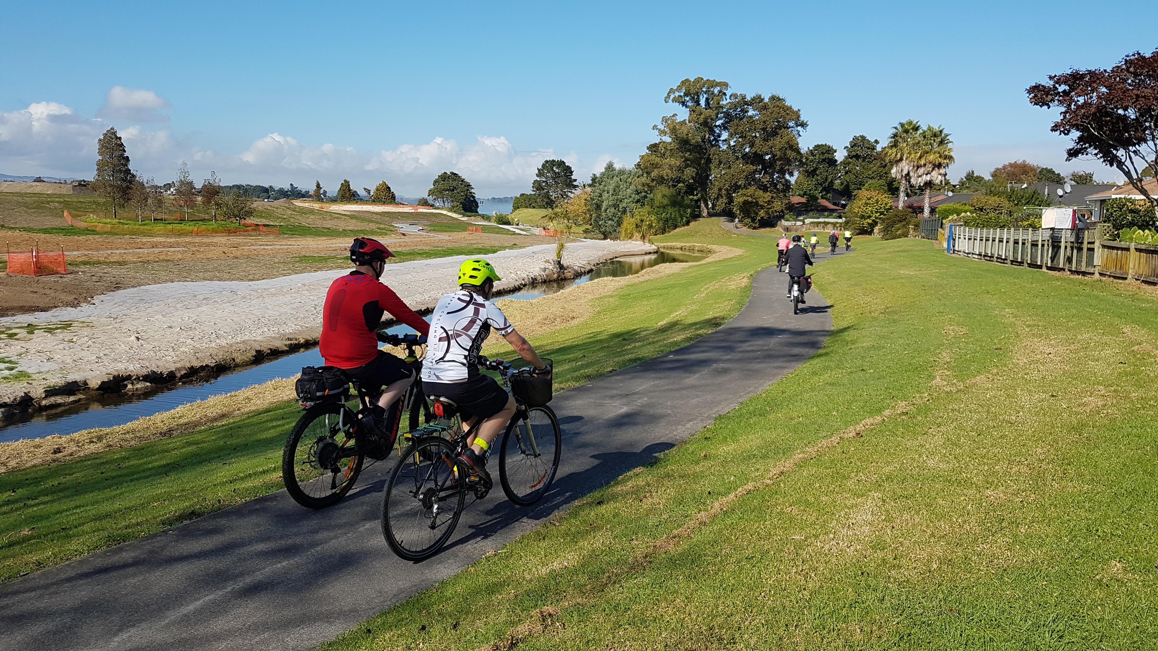
Inspirational thinking from a local cycling champion, David Hopkins, is now crying out to become reality.
He lives in Wattle Downs, just one stream away from Waiata Shores, near the start of the new Southern Cycleway, opened a fortnight ago.
Let’s get behind him and call for this powerfully strategic local walking and cycling link to be built as soon as possible!
Wouldn’t it be handy to be able to walk to the shops, a cafe, train station or frequent bus service? Or to cycle, scoot or otherwise actively get to these services without having to be in a vehicle or interact with busy traffic? To feel safer and more independent in a wheelchair or mobility scooter, or with kids, or a bunch of friends, young or old?
What if this walk/cycle/scoot was on well-made paths, along a quiet stream reserve? Paths that also let you walk, cycle, or scoot to a beach, again without needing a motor vehicle?
And what if, coincidentally, a nice wide pathway was taking shape along the motorway nearby, leading all the way to the nearest town centre, meaning you could safely travel even further on foot or on wheels – to get to work, go shopping, meet friends, take classes go to the public library…?
All this can be readily achieved readily for thousands of people in South Auckland, with the construction of a single pedestrian bridge over the Papakura stream.
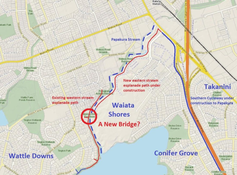
As the map above shows, Papakura Stream forms a natural barrier between Wattle Downs in Manurewa on one side, and Conifer Grove and Takanini on the other side. On the east side of the stream, on a former golf course, Fletcher Living is currently building a large new residential suburb called Waiata Shores, so even more people are moving in now and will do so over the coming years.
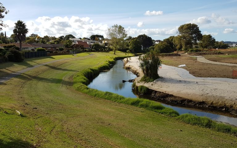
Along the southern/eastern bank of the Papakura Stream, a new esplanade pathway is being built adjacent to what will be the new suburb on the former golf course.
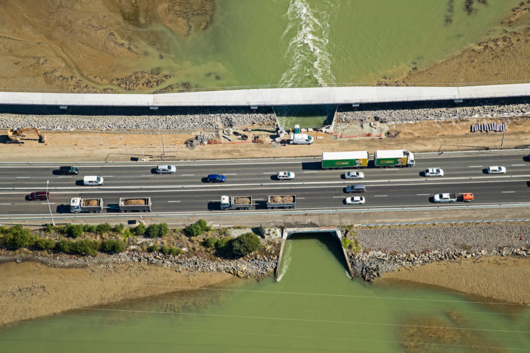
Meanwhile, not far away: from Takanini to Papakura along the motorway, a new shared path is taking shape as part of the NZ Transport Agency’s Southern Corridor Improvements.
The neighbourhoods around the inlet, Wattle Downs and Waiata Shores and around to Conifer Grove, form a quiet residential area, pretty and flat for easy getting around. All that’s needed now is a pedestrian/cycle bridge to join up the two banks of the stream, because right now, there are no crossings for nearly 2km. The red circle on the map above shows where the new bridge might go, somewhere near the end of Gairloch Place in Wattle Downs.
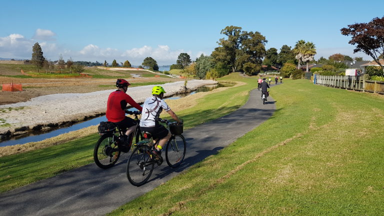
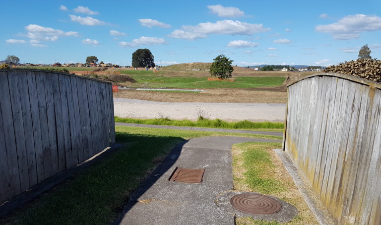
People have been suggesting just such a pedestrian bridge for years, via consultations with Council, the Local Board and Auckland Transport, and NZTA – especially since the new development on the southern side of the Papakura stream began construction. And the call grows stronger as the SH1 cycleway takes shape nearby between Takanini and Papakura.
Many locals have been asking for a bridge to make walking and cycling much safer and more pleasant, and for all sorts of daily uses and reasons:
- One man who rides a wheelchair-attached bike made a well-received presentation to a recent residents’ meeting, asking for such a bridge and explaining what a difference it will make for his commute.
- A waitress working in a brand new cafe on the Papakura side of the stream said she would love this connection so she and other people from Wattle Downs can get to the cafe without driving or busing.
- An older man on his mobility scooter told how he would be much safer getting his fruit and vegies going via the new bridge without having to use busy roads
- The new development at Waiata Shores includes plans for a supermarket, which would be an easy walk or cycle from Wattle Downs, via the new bridge.
Until such a bridge is built, the existing route for pedestrians and cyclists takes you along Mahia Road, through an industrial area with significant truck and vehicle movements, and then across the stream on the busy, narrow Great South Road Brige. Not fun. Not safe. Not popular.
By contrast, create a new link, and watch people discover the possibilities for safe and scenic local travel!
This would surely be an ideal project for the Local Board to take on, with help from the Transport Capital Fund, or the new Community Safety Fund which was pegged in the recent ten-year city budge as a key element in the active transport funding.
As a bonus thought: the proposed bridge would be close enough to the stream mouth that it could also work as part of a future waterfront ride around the coastline. There’s a plan in the air to eventually link the waterfront paths in Conifer Grove with those in Wattle Downs (envisaged to be funded out of the maritime recreation fund available to each of the local boards around the Manukau Harbour), plus an even more far-sighted vision for a waterfront path all the way from the airport, if you could link Puhinui Reserve to Weymouth.
So many opportunities to connect so many communities over so many years, with one simple bridge! What do you think?
— David Hopkins


