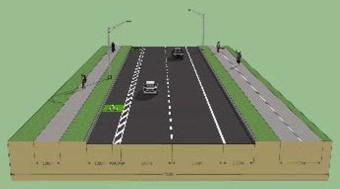
The Puketatapa Local Board is proposing to add cycle facilities to Sandringham Road Extension – that’s the southernmost bit of Sandringham Road between Walmsley Park / War Memorial Park at the north end, and Stoddard Road at the south end.
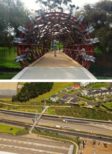
At the north, you have the lovely park Greenways that Puketapapa is known for – and at the southern end, you have the Ernie Pinches walking and cycling overbridge leading across State Highway 20 to the cycleway along same motorway – which leads to Onehunga in the east, and to Owairaka and the Waterview Cycleway in the west.
A pretty important link, both for locals wanting to ride to the supermarket at the southern end or the school at the northern end, as well as for people riding longer distances.
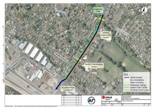
But at the moment, this Sandringham Road Ext stretch is a pretty horrid and busy road (and bookended by a huge intersection with Stoddard Road) – bad enough to discourage all but the most confident riders. This needs to change to link up these two parts of the existing network.
With Auckland Transport busy with other projects (including, to be fair, one larger one in the same area of Puketapapa), the Local Board has taken up the challenge and is proposing to spend their own transport funding on fixing this link.
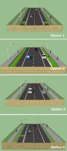
In 2015, they have reviewed various options, and they are now wanting feedback:
- Option 1 – painted cycle lanes (with painted buffer strips) on both sides
- Option 2 – protected cycle lanes (with some form of on-road physical buffers such as kerbed strips) on both sides
- Option 3 – shared paths on both sides, allowing travel both ways
- Option 4 – a painted cycle lane on the western side allowing travel northbound, and a shared path on the eastern side, allowing travel both ways
Now, the solution is easy, isn’t it? Pick Option 2 and go for gold!
Well, sadly the Local Board informs us that they are aiming for Option 4, because of the following reasons:
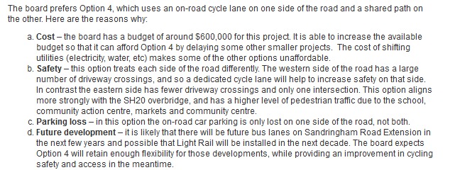 If you look at the option cost estimates they provide in the longer assessment matrix (see in the feedback link), you will see that Option 2 is actually 2 million (!) dollars more costly, apparently mainly due to the need to relocate underground services for the shift. Ouch. That’s a lot of money for a Local Board, and seems clearly outside their budget.
Sure, they could try to get a top-up from Auckland Transport. But their money is spoken for – and at our guess, even if the extra cost is agreed on, this would likely delay the project for quite a while, possibly years. In contrast, the Board says they have the ability to fund Option 4 directly.
Bike Auckland always wants the best quality for cycling. But all too often, we have to accept that the money or will isn’t there yet, and then have to choose between saying “Not worth doing in that case!” and “A bird in the hand is worth two in the bush”. We tend to choose the second option, gritting our pragmatist teeth, even if they get a bit worn at times.
How do you feel?
You can provide your feedback to the Local Board here (and also read more about the proposal). Consultation closes Wednesday 3 February 2016 at 5pm.
PS: However you feel about the options – please tell them that the big intersection with Stoddard Road can’t be excluded from the works. It’s not absolutely clear whether their option costings include works there – but leaving that out of the scope would definitely hamstring the project!

