All across Auckland, alleyways and parks provide handy connections that nimble folk on foot and on bike use to get where we’re going. And then there are the in-between places: connections that are visible, but for one reason or another, remain inaccessible. Some of these might be ‘paper roads‘, and well worth pursuing. Below, a reader tells the story of finding just such a hidden link in his neighbourhood.
Let’s start with a Beatles ear worm: ‘I need a break, And I want to be a paper road rider. Paper road rider!’ Or perhaps a Prince one: ‘Paper road, paper road…’
This is the story of a road that started out in the 1940’s as an unformed access track in Ellerslie, connecting Marua Rd and Abbotts Way. Back then, Stonefield Quarry, a basalt stone’s throw to the north, was but a surface scratch at the corner of Lunn Ave and Ngahue Drive, and the area was yet to feel the grasp of urban sprawl.

As houses popped up along Marua Rd, the aforementioned access track became a thoroughfare for trucks and cars, serving in part a smaller quarry, and linking Ellerslie and Mt Wellington to the pastures and scrub land of Remuera to the north.
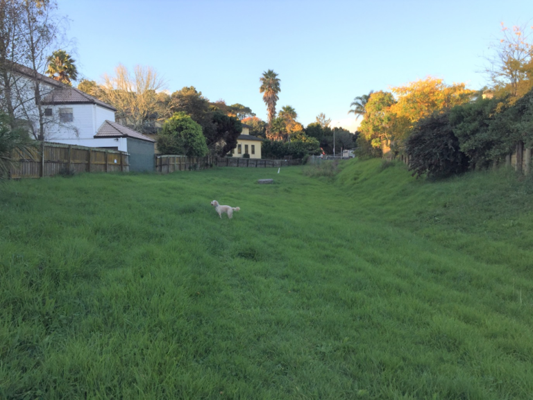
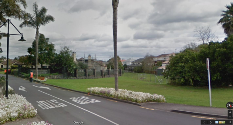
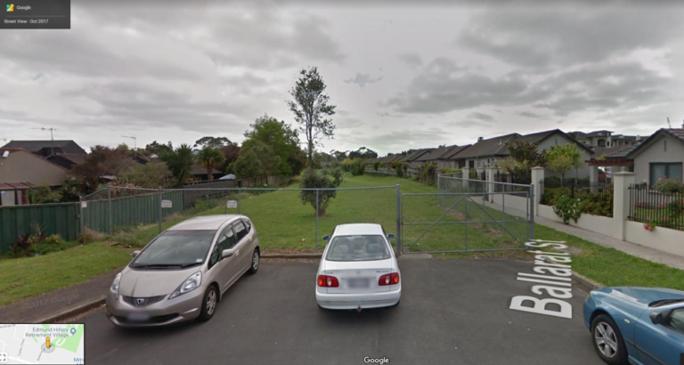
At some point between the 1960s and the 1990s, the southern 200m of this track became the formed road Ballarat St. The remaining 400m was put into hibernation. Still a road reserve, but fenced off, forgotten, and completely unused.
That’s right: this near hectare of land in a prime residential suburb has been sitting for over 60 years, touched only by AT’s lawnmower and the odd champagne cork from golden wedding celebrations at the retirement village next door.

In 2018, Auckland Transport was approached to determine the status of this land. In particular: why was it not only fenced off at each end, but behind locked gates? AT responded that yes, the road was ‘open to the public’ and that Vector had locked the gate (for reasons unknown). The lock was quickly removed, and the paper road is now open to the public.
What is a paper road?
In essence, a paper road is one that was drawn up (on paper) but hasn’t been formed (given formal shape and/or paved). As explained by Auckland Transport:
A paper or unformed road is a legally recognised road that provides public access to a particular area or feature and whose ownership lies with either a territorial authority or the Crown. They are generally undeveloped and often known only to the local community.
They are no different in law from a formed road. The public has the right to use them without hindrance. It may be a walking track or just two wheel ruts in the ground – but it is still a legal road and members of the public have every right to walk or drive on it. Legally it is public land.
Where to from here?
A quick check on Neighbourly showed that feeling in the local community is to not have this road open to vehicles. Sure, it might make sense on paper, to provide a faster link from Ngahue Drive to Marua Rd, but to be honest, I’m not sure the community wants anyone to use it at all.
Could the paper road be converted for housing?
I’m for the middle ground of keeping it a paper road, removing the fences, adding a nice wide path and some lighting to safely cater for pedestrians and cyclists, and thus giving it back properly to the community as an access-way for active transport.
Is this paper road usable as is?
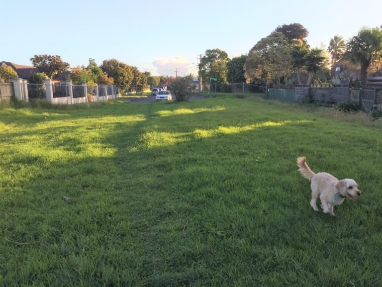
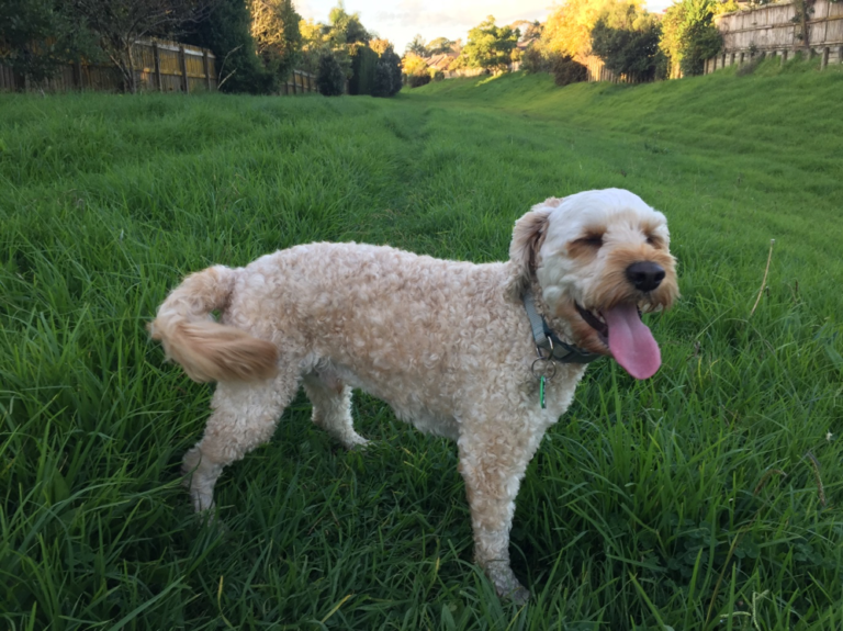
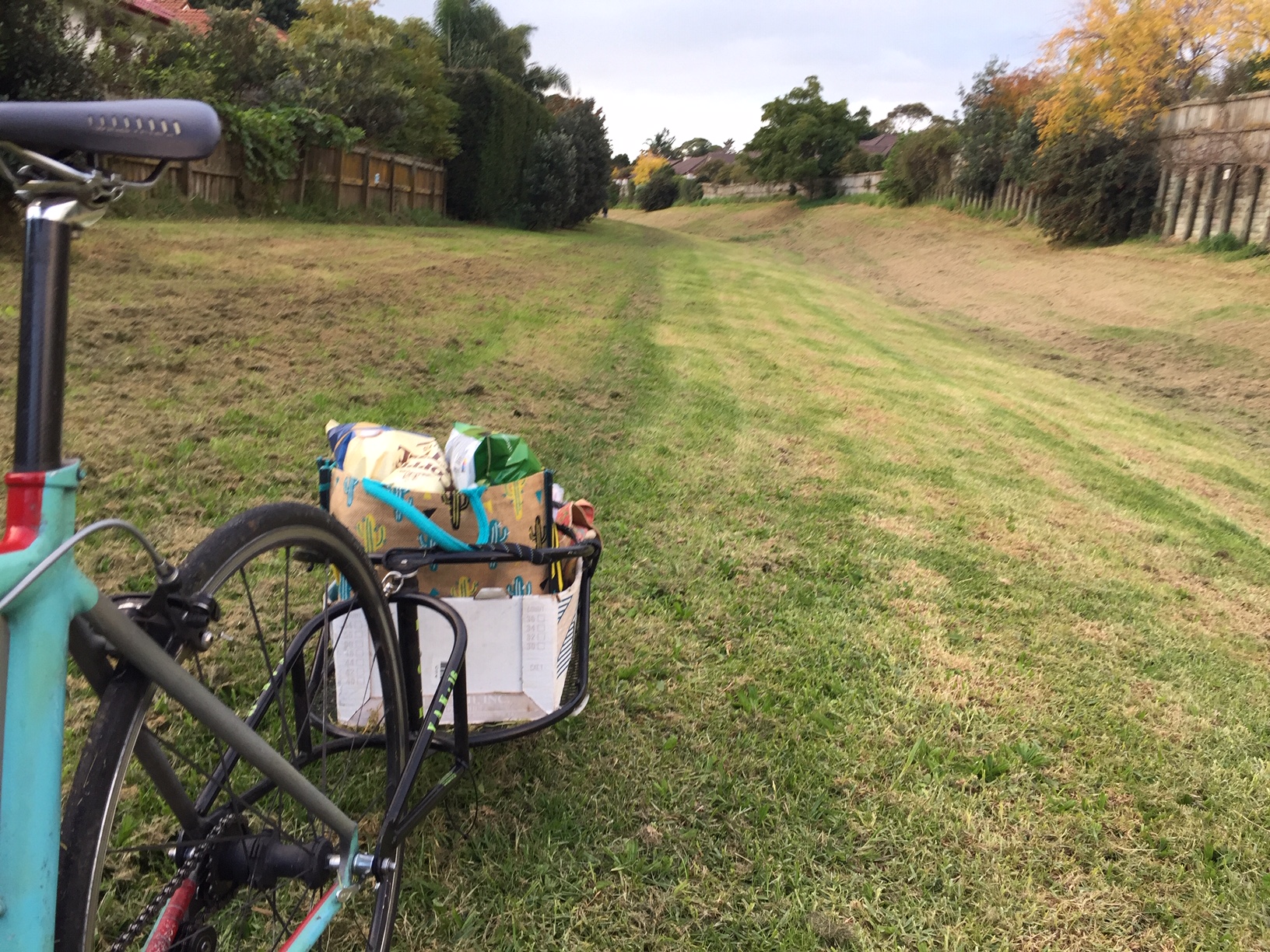
The road is quite usable as is, for pedestrians and people on bikes. I’m currently using it for dog walks, and to ride to the supermarket and other businesses on Lunn Ave. (To be honest, the lack of cycling infrastructure on Ngahue Drive and Lunn Ave limits safe cycling in the area, especially if you’re heading north.)
It is not suitable for wheelchairs, and would be a little slippery for walking and cycling in the wet. I am comfortable riding it on my road bike in all weather, but results may vary!
Given the gates were locked for so long, it may take a while for locals to discover the space is now open again. That said, on a recent weekend, I saw a neighbour walking a dog, and some kids playing football with their dad. I use it most days, and see a few more people every time.
Are there other paper roads out there?
Yes, there are bound to be. Paper roads can be hard to find, so please tell us of you know of any in your area – especially the unused, fenced-off ones!
