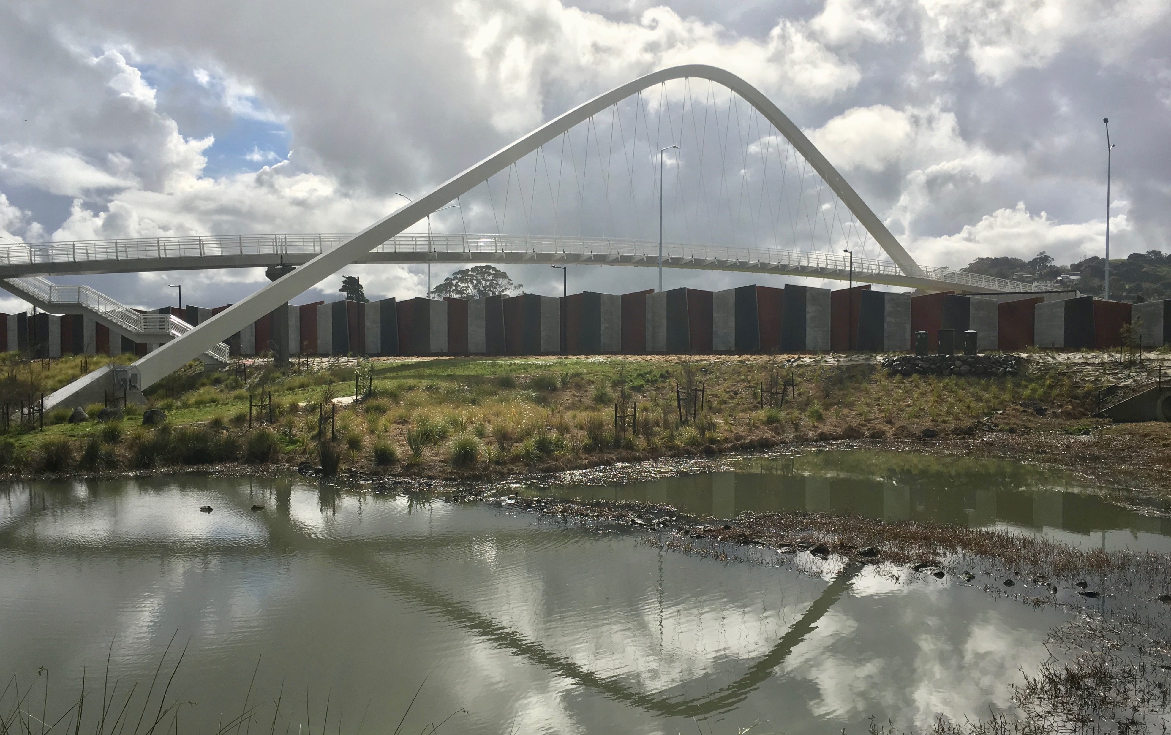
With most of Friday’s action at the northern end of the Waterview Shared Path, it came as a delightful surprise to hear that another spectacular bridge had opened at the southern end, in a quiet and small ceremony. So, after the opening of the bridge connecting Unitec and Waterview, I went for an explore ride out to the other end.
(To see how the Southwestern Shared Path connects to Waterview and beyond, check out this map courtesy of NZTA: Waterview/Southwestern Shared Path PDF )
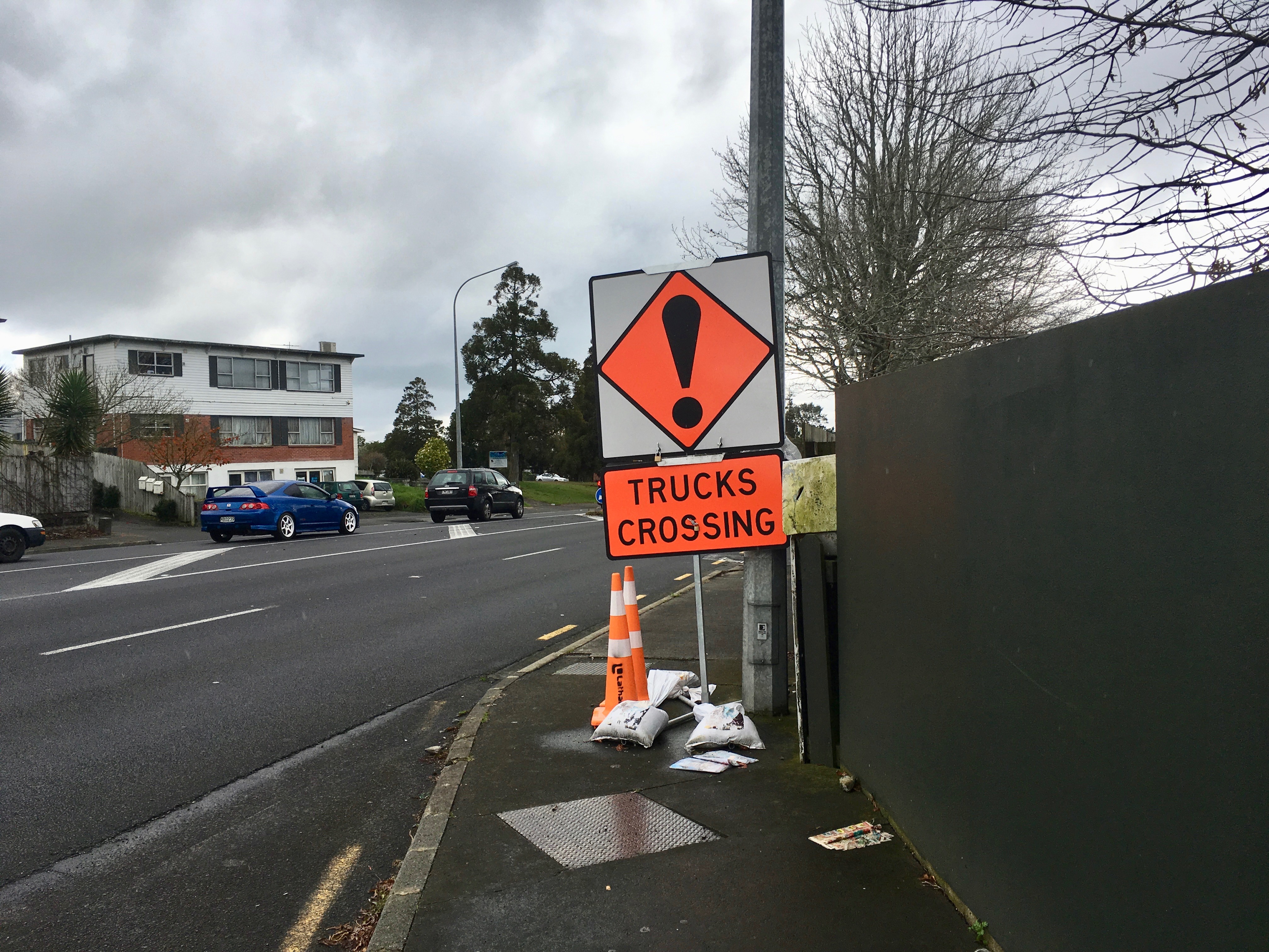
The shared path in between is still under construction, which meant a slightly hairy trip down Great North Road and Blockhouse Bay Road, full of reminders of the need for safer travel. For example, what are pedestrians meant to make of this? How do people with strollers or wheelchairs or mobility scooters cope?
And crossing New North Road is its own drama: until the signals at Bollard and Soljak are working, you need to do a three-legged crossing outside Pak N Save, and then retrace your steps to get to the entrance of Alan Wood Reserve.

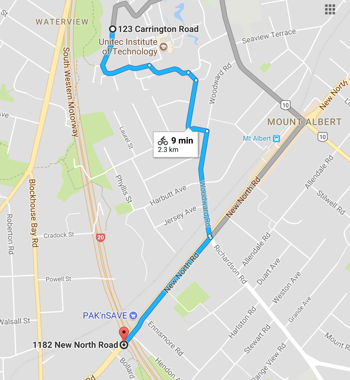
The alternative, quieter way (until the full path is completed) is to go through Unitec to the alleyway beside the Mt Albert Kindergarten, and then out via Mark Rd to Woodward Road. You still have to ride along a bit of New North Road, but it’s much more pleasant and much shorter. I came home this way.

Once you’re at Alan Wood Reserve, it’s plain sailing – and well worth the journey.


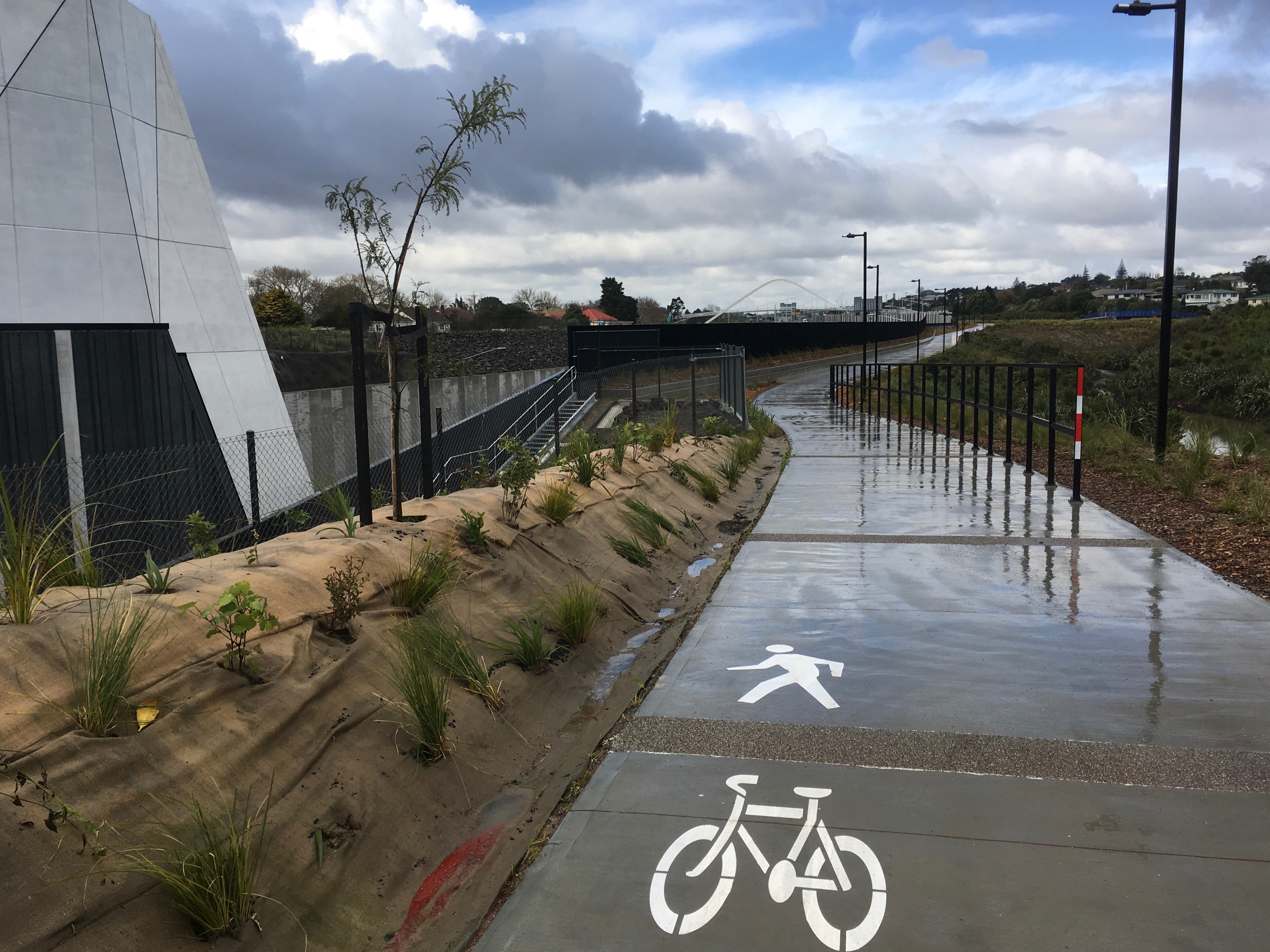
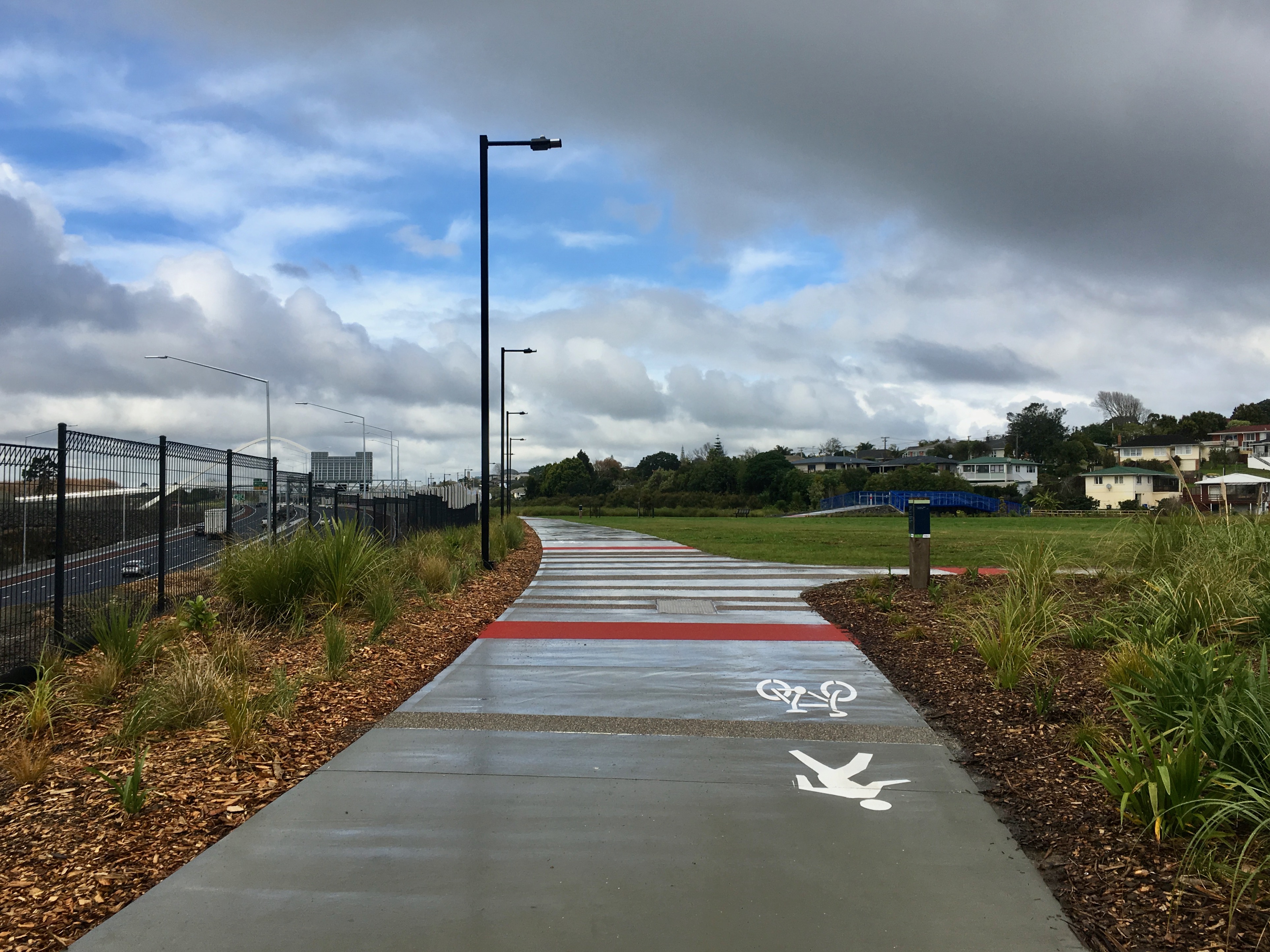

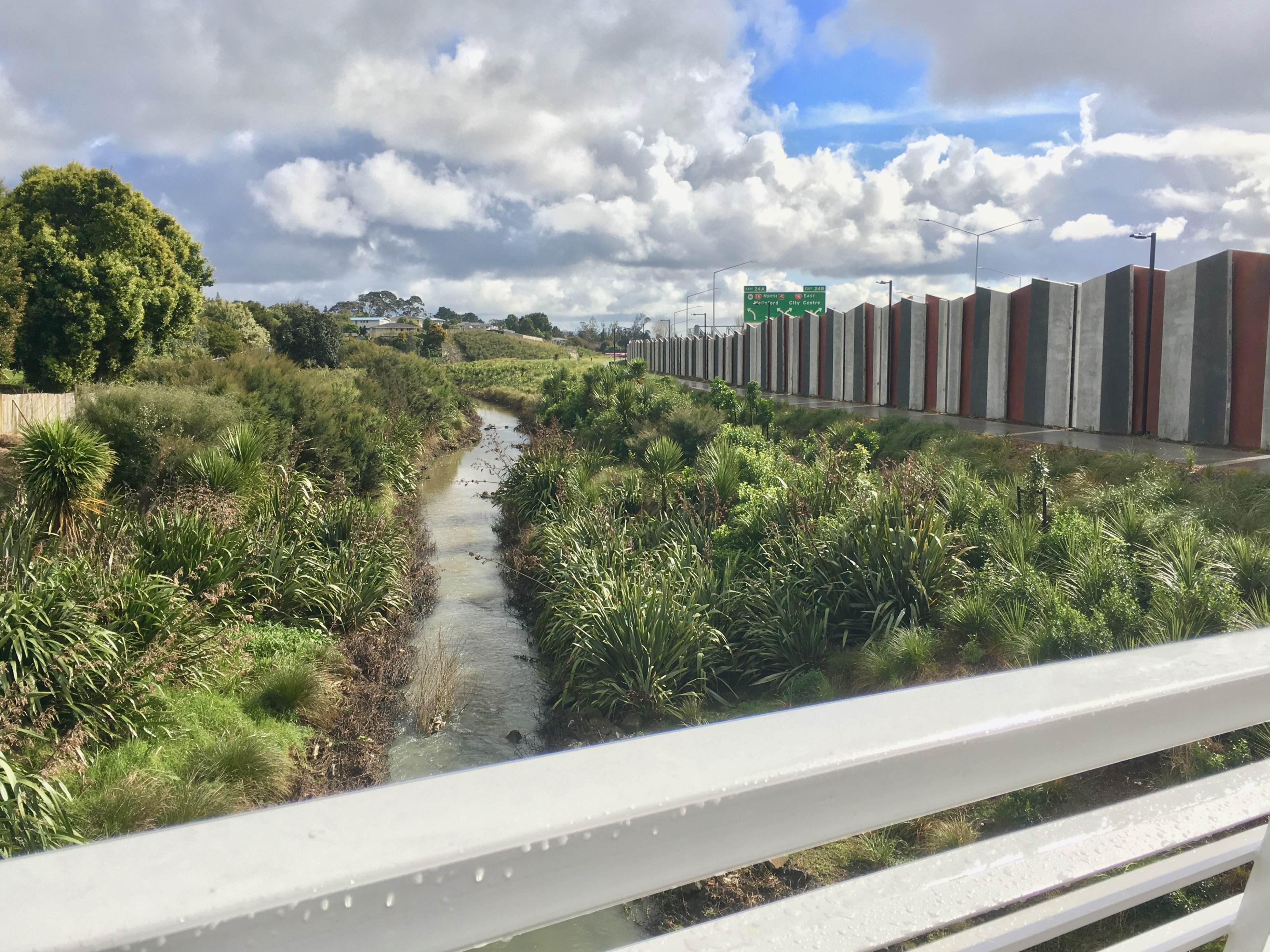


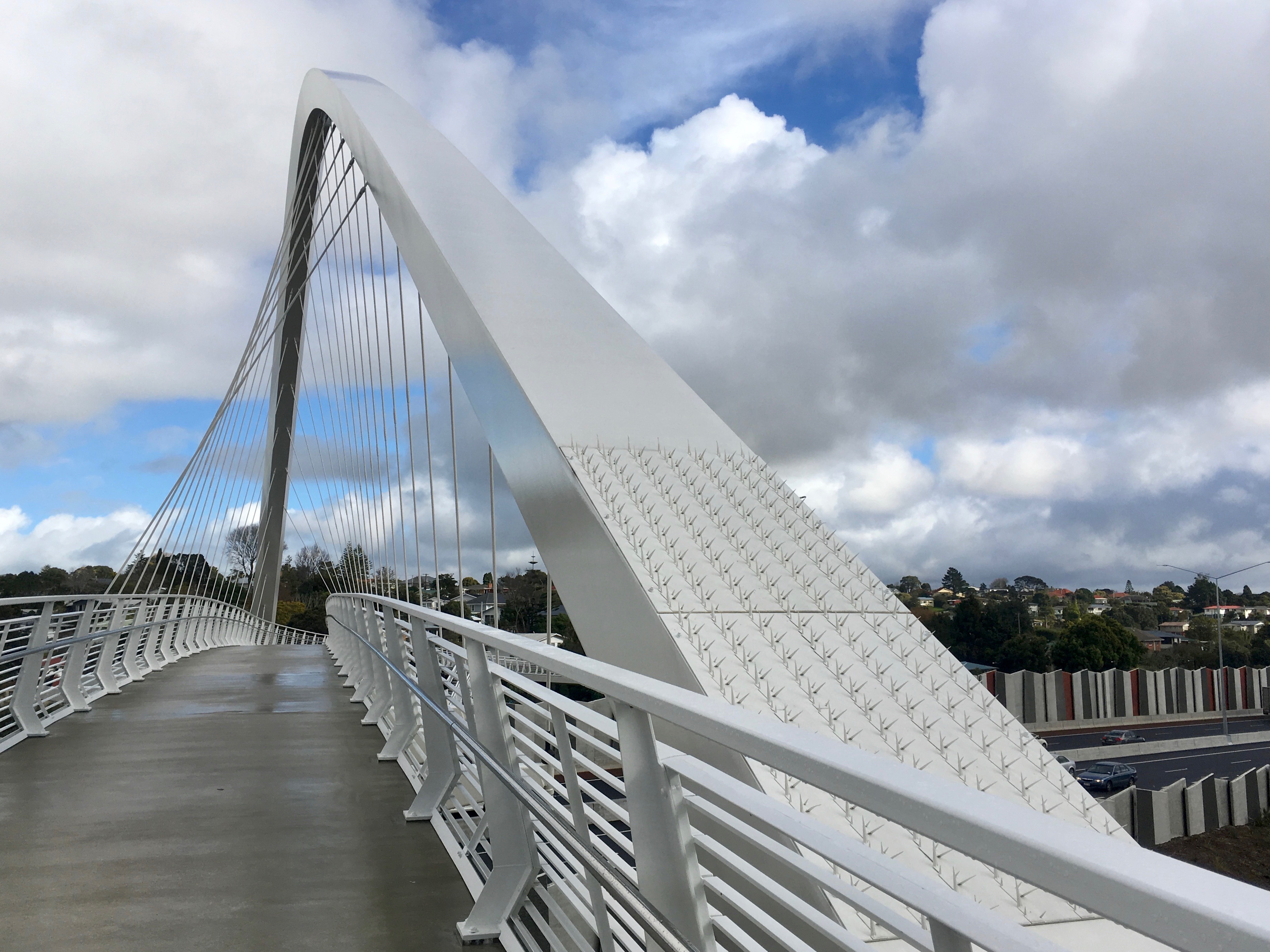
Te Whitinga – which means ‘the crossing’ – is the proud work of architectural firm Warren and Mahoney, in partnership with Boffa Miskell. (Warren and Mahoney also designed the portals at either end of the tunnel, described by one visitor on the open days as ‘galactical’!). The bridge has been shortlisted for an international footbridge prize, to be announced in September.
What’s it like to ride over? Like this.
Once you’re up and over, the great green ribbon of the Roskill Safe Routes beckons. At the moment, however, the Te Auanga/ Oakley Creek restoration project means the section through Underwood Park and Walmsley Park is interrupted (the project is due for completion in May 2019, and Underwood Park should reopen over summer; keep an eye on updates at the project page).
For now, O’Donnell Ave offers a handy parallel detour for the section under construction. Eventually, though, you’ll be able to do this, all on safe paths, all the way to Onehunga…!

Back to Te Whitinga…
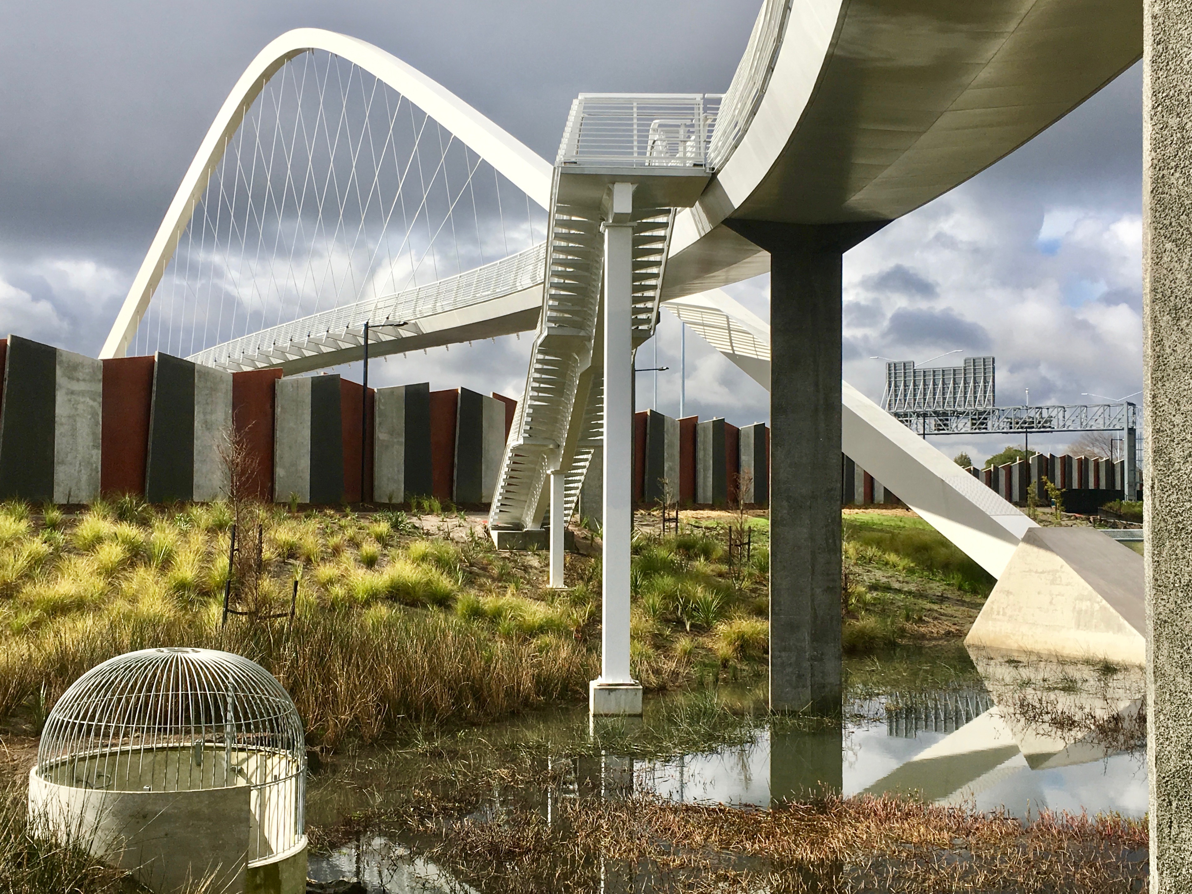

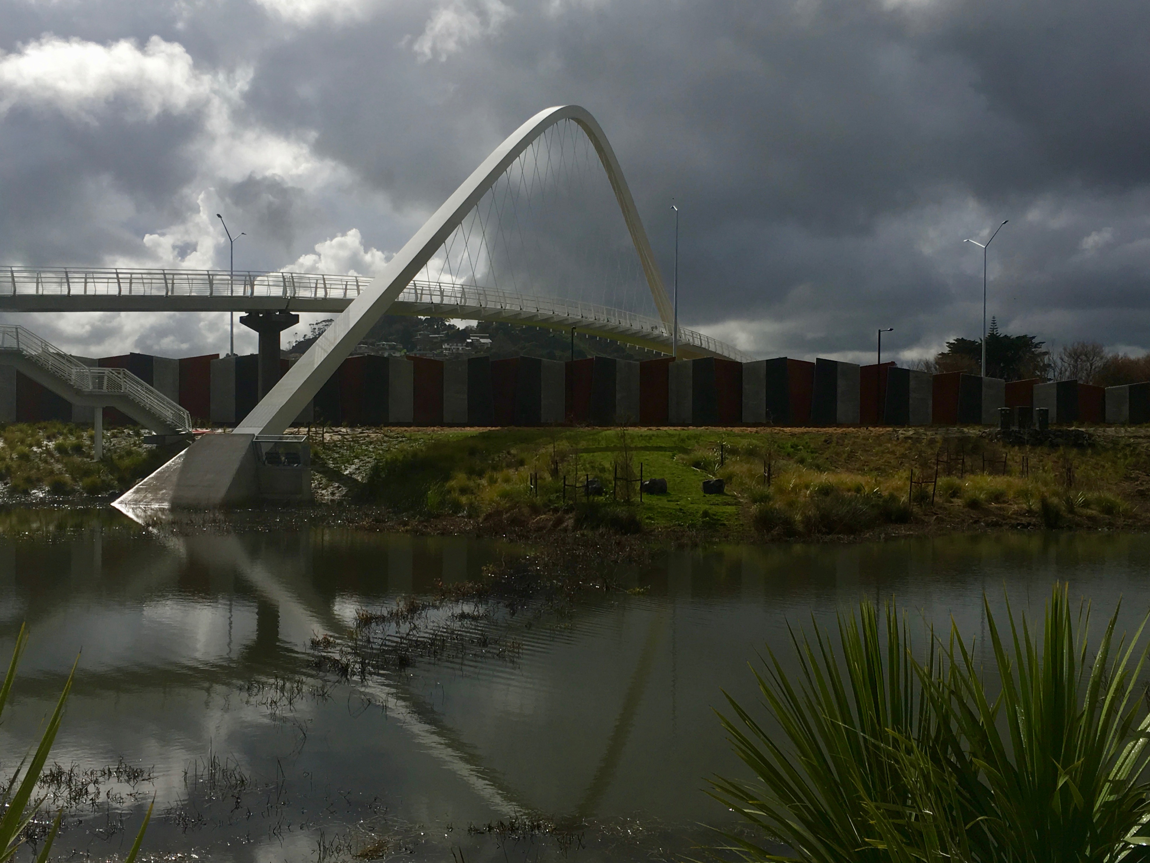
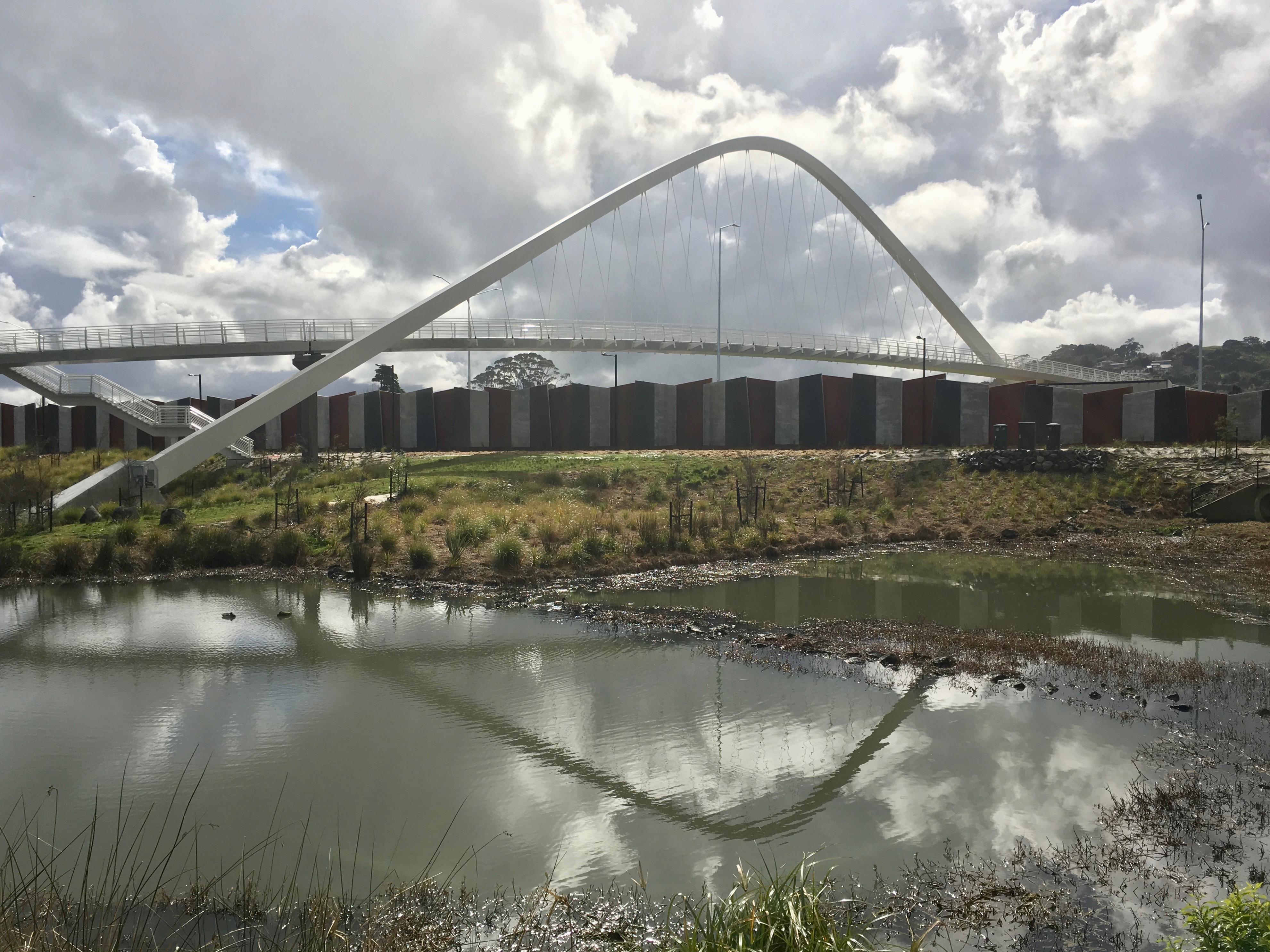


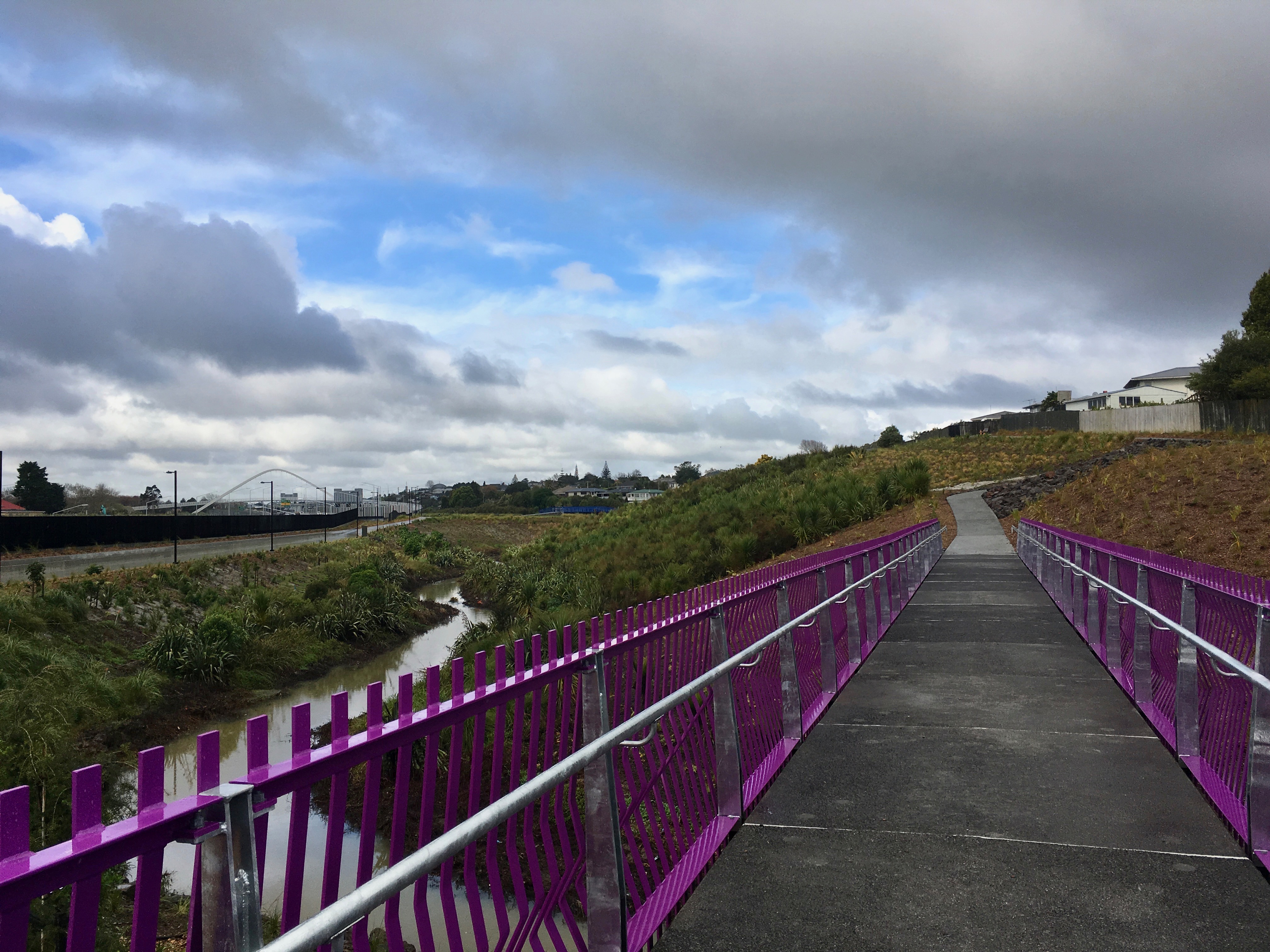
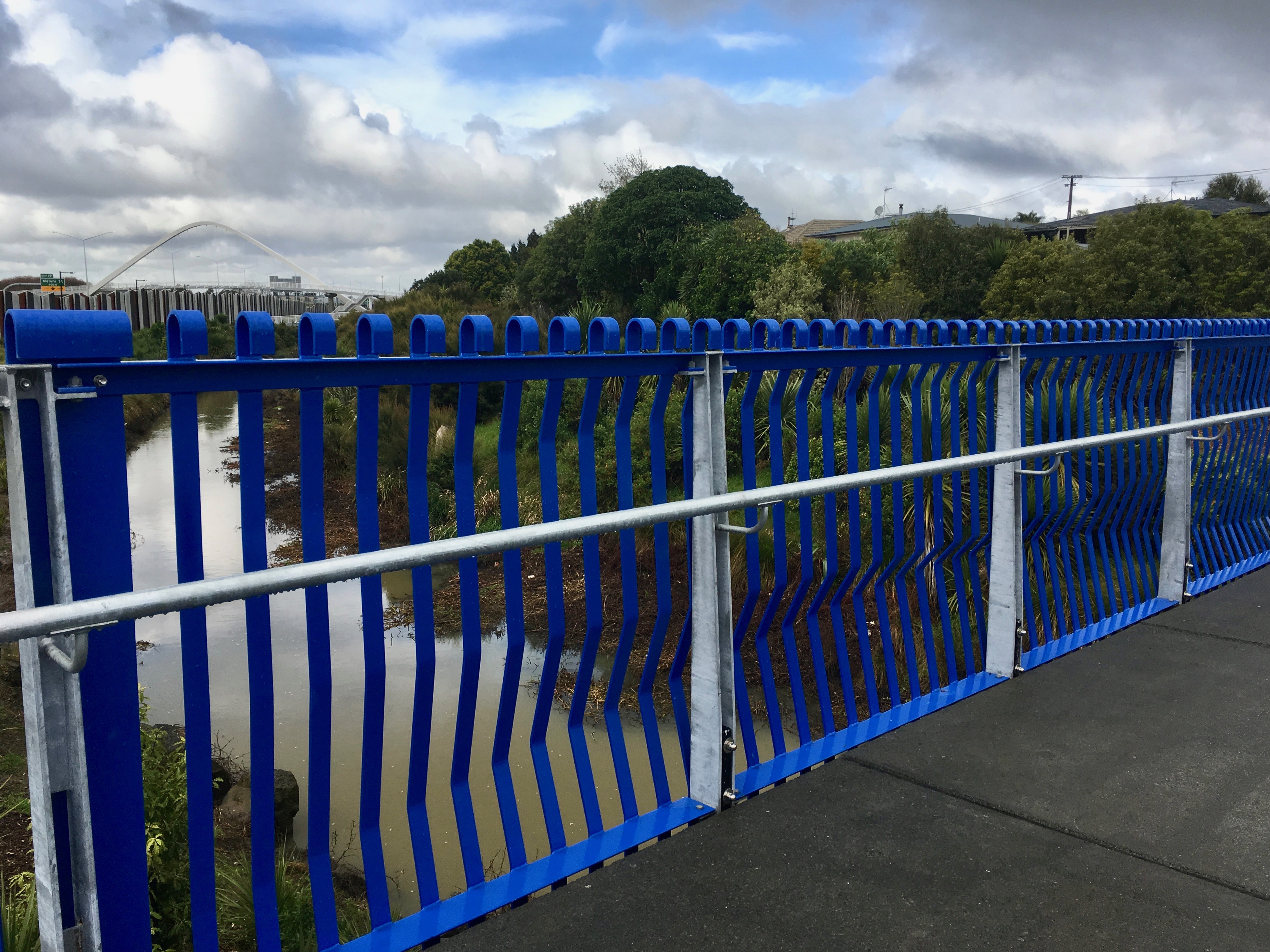
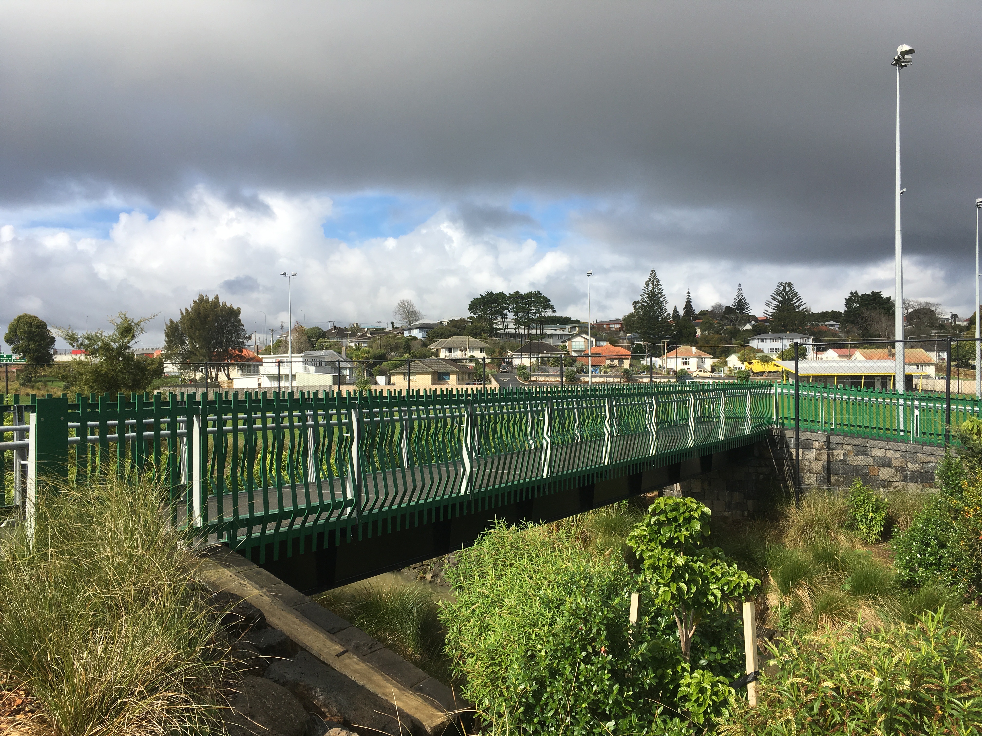
One thing I particularly loved – the pukeko colour-scheme of the side-bridges across the creek along the way. These were the work of Boffa Miskell.
